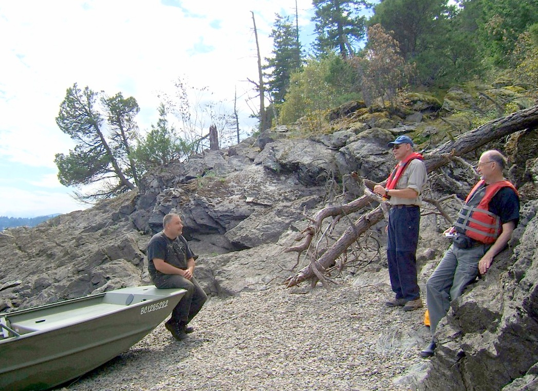
(Click on the photos for an enlarged view) On Sunday, September 8th, the island was scouted for an operating location which was both easily accessible and well situated for the best operating potential.
Because Copper Island is part of Shuswap Lake Provincial Park, there are severe restrictions upon our presence. We can set up antennas on the island, but we will have to operate from a Pontoon Boat set up alongside the shore.
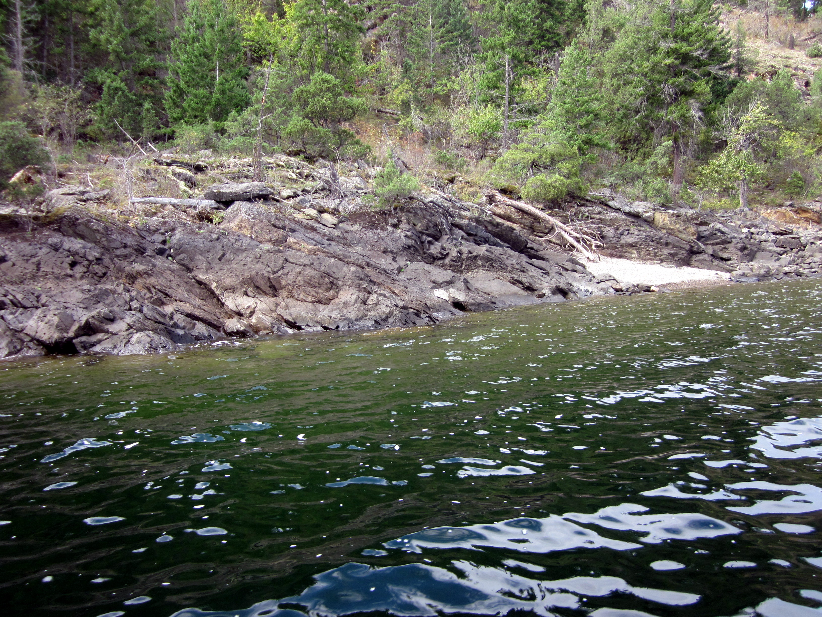
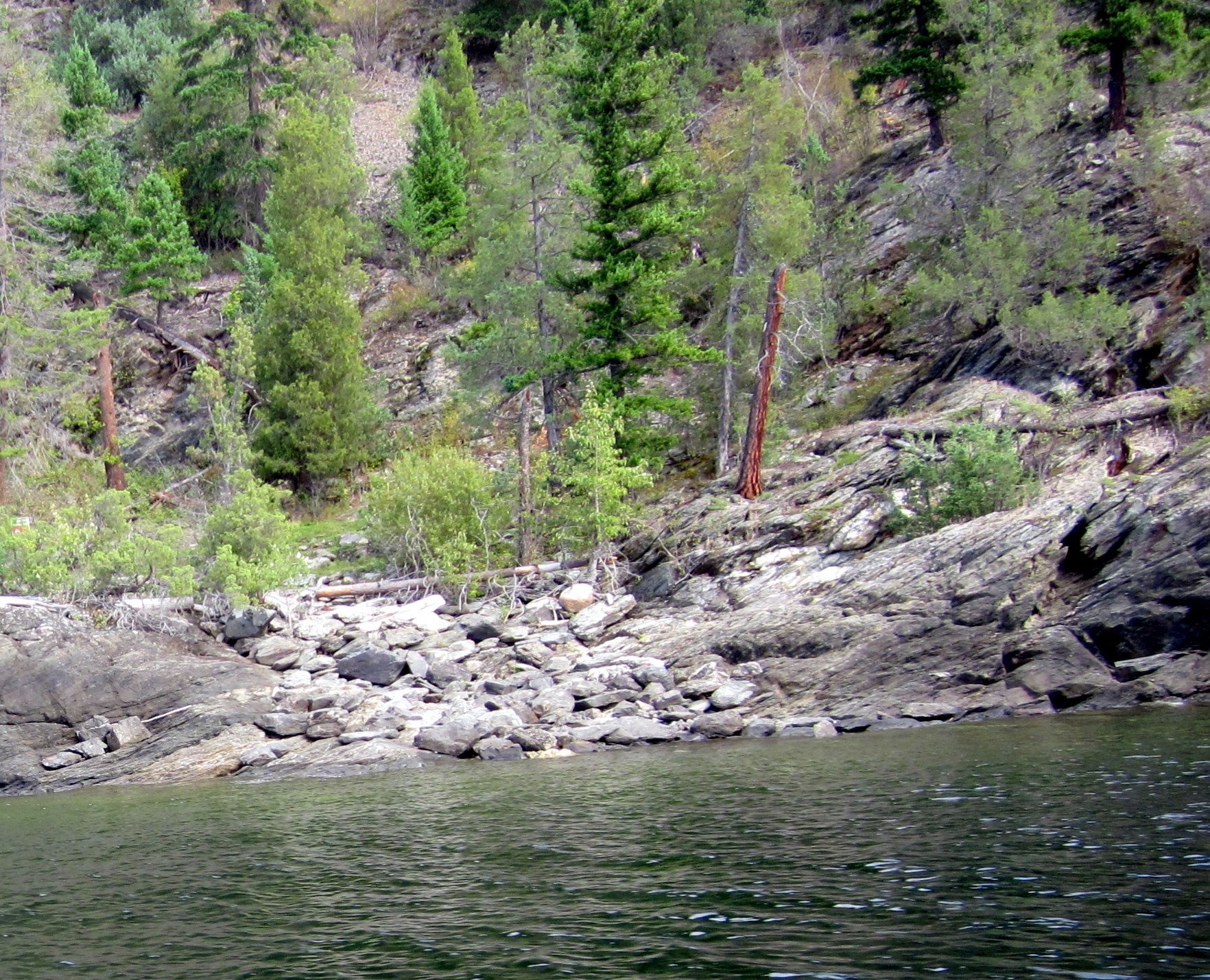
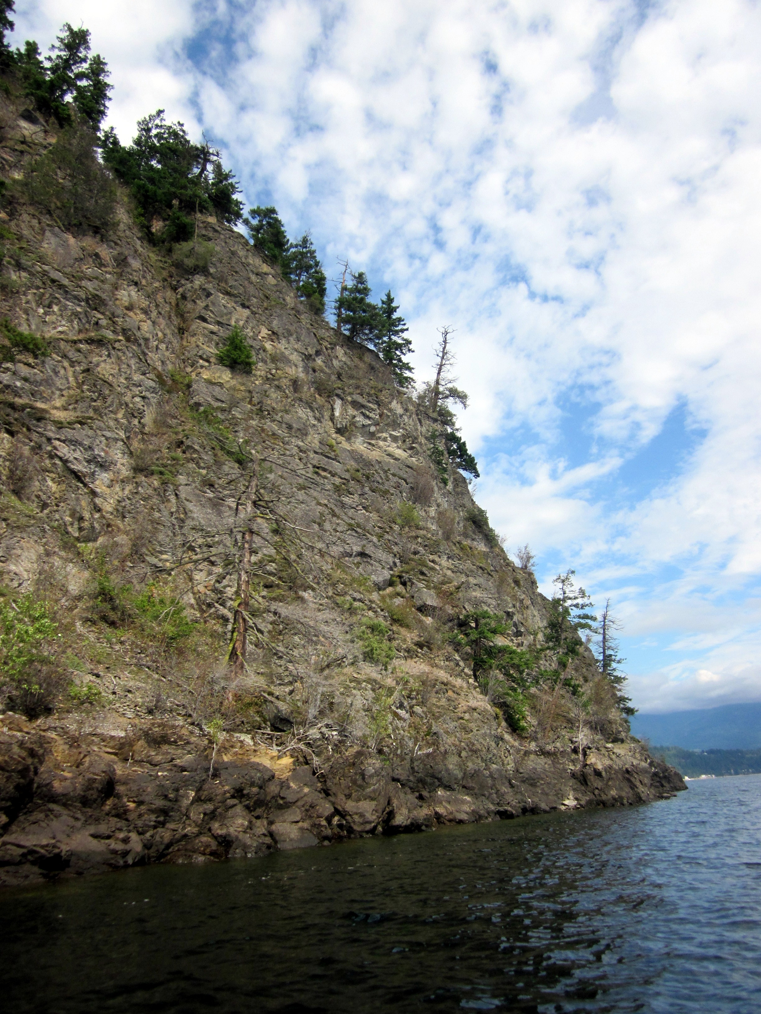
Our final selection along the extremely rocky shoreline was a tiny cove on the southeast “corner” of the island, about 100 metres east of a navigation marker in that region.
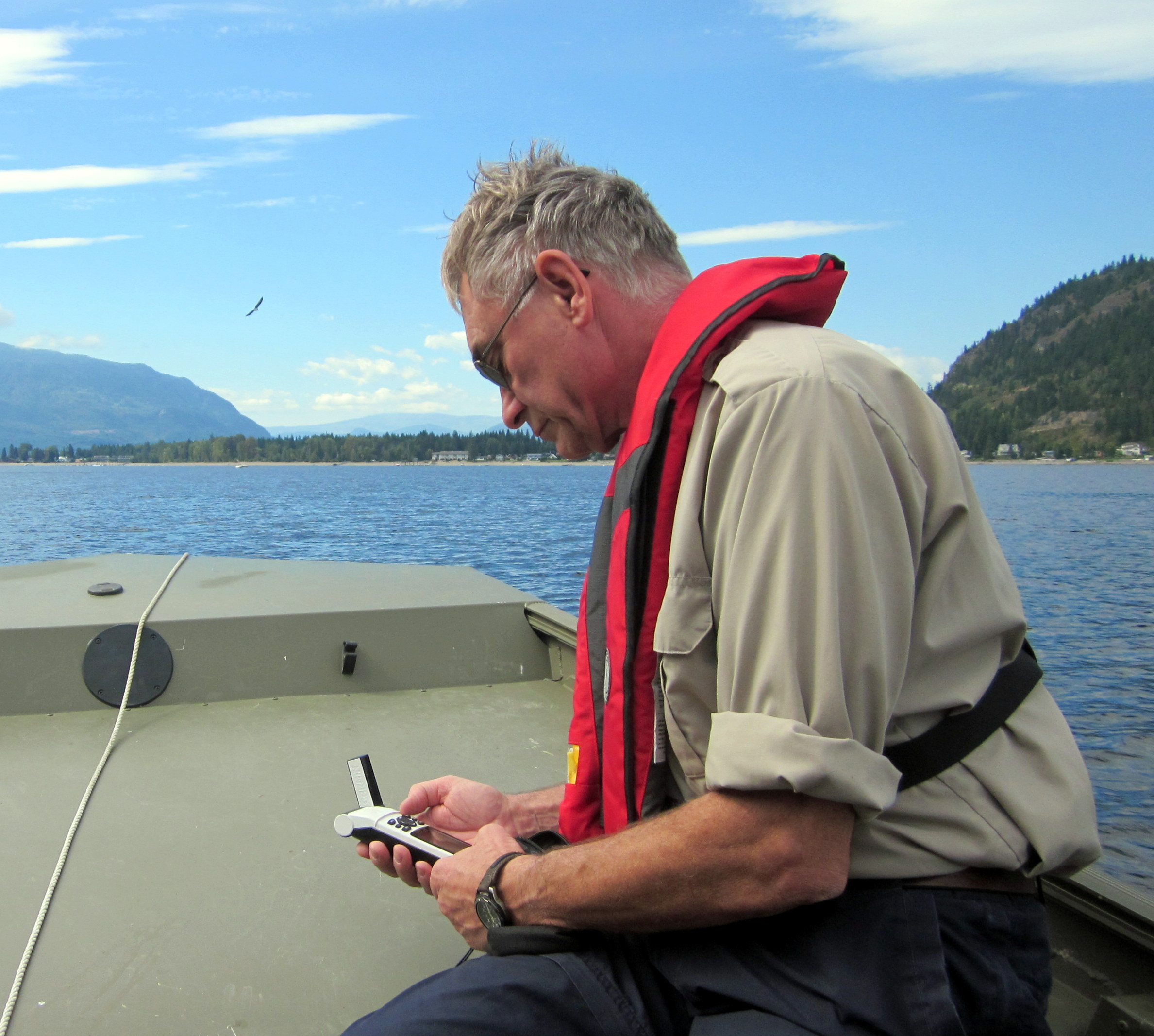
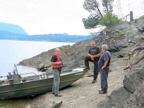
Also shown in a photo is Dave VA7HDY determining the coordinates of the location which are as follows: 50d 54.7 min. N and 119d 23.9 min. W. The elevation of lake level on September 8th was 361 metres.
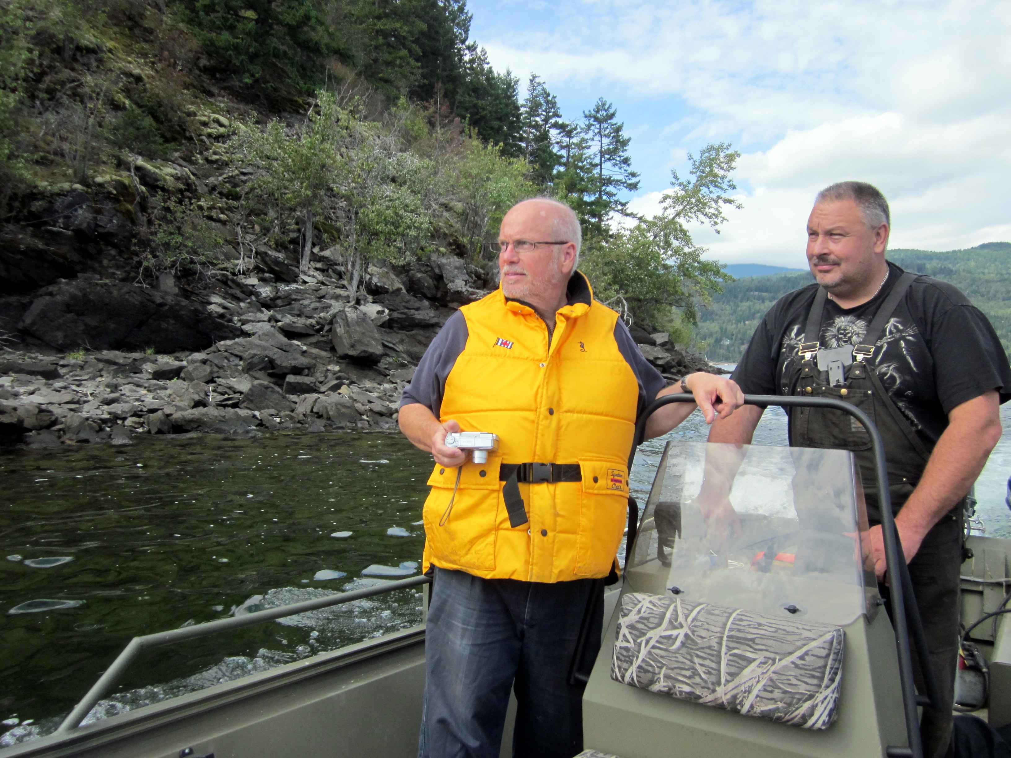
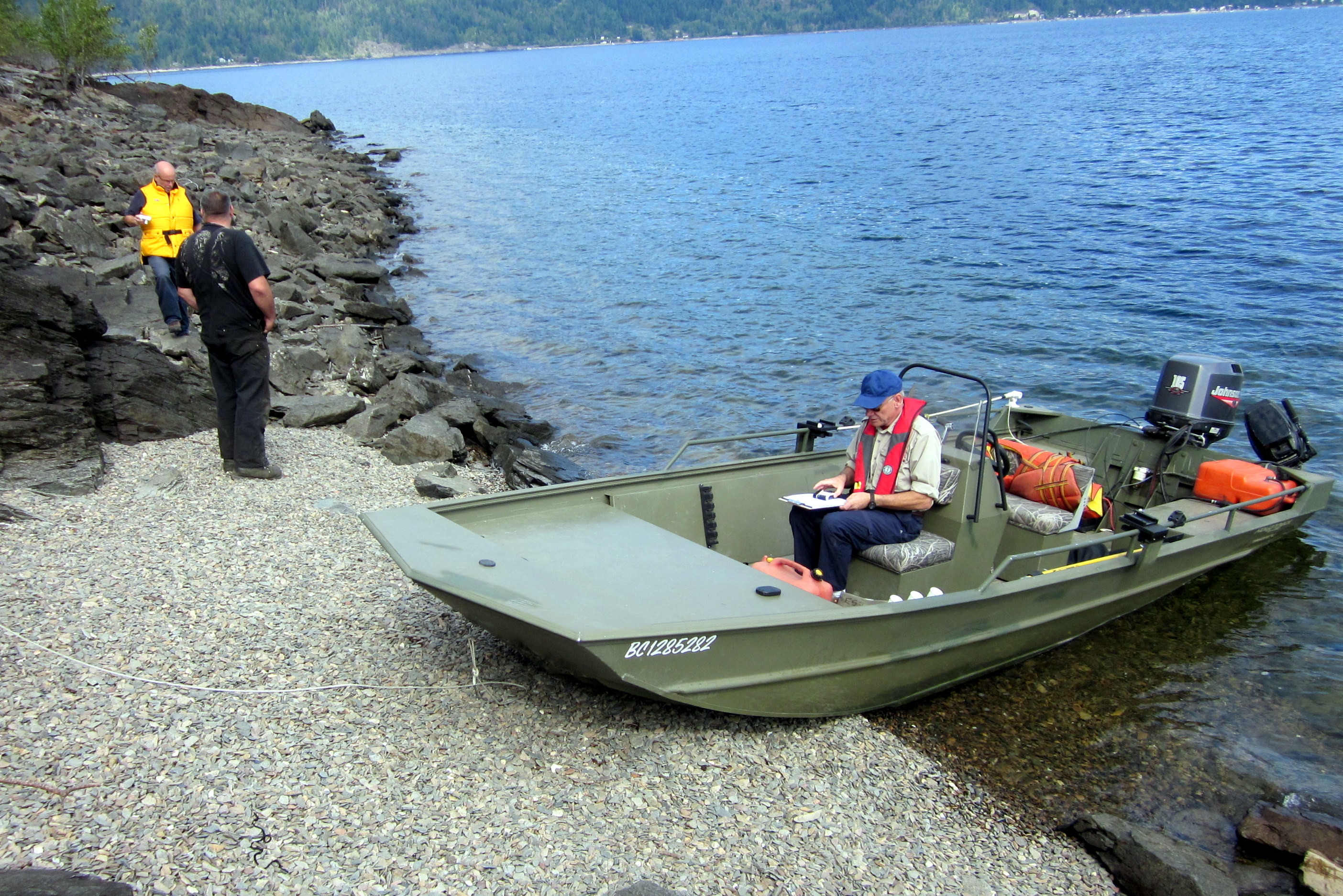
Peter VE7RZZ with club president Robin VE7HMN in yellow, is shown at the helm of his river boat which we used on our scouting trip. The boat was put in the water at the Blind Bay boat ramp. After our initial set up, this boat and other pleasure craft will ferry operators and equipment back and forth from the nearby Shuswap Marina during our 24 hours of operation.
The event will use the call sign VE7RC.
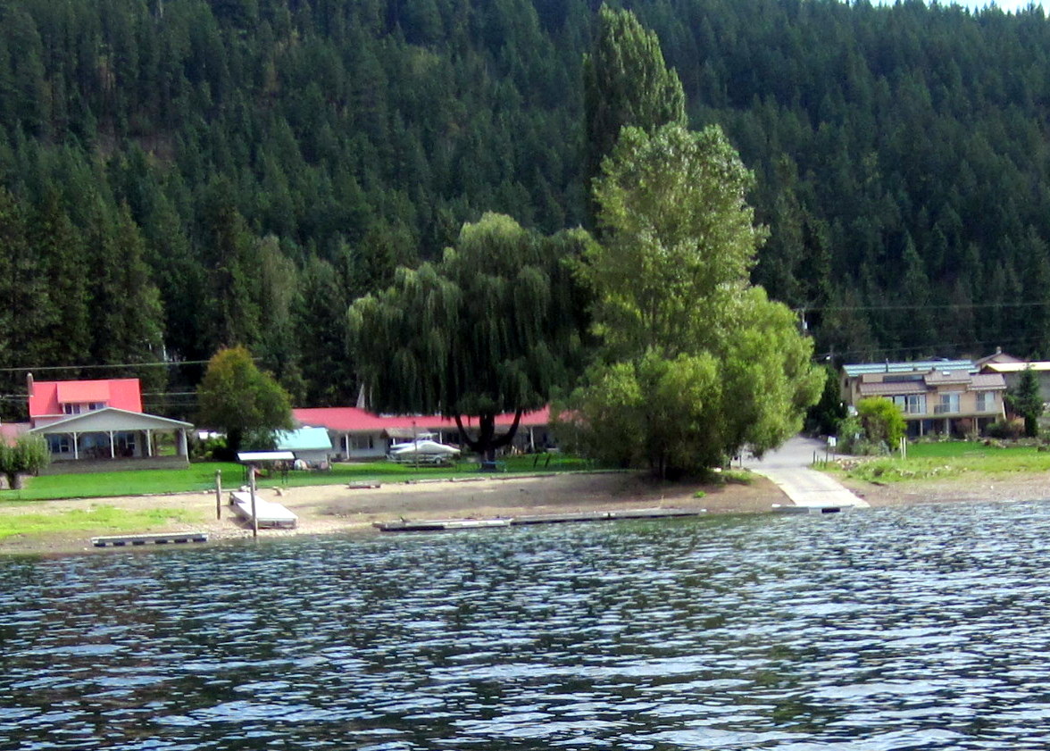
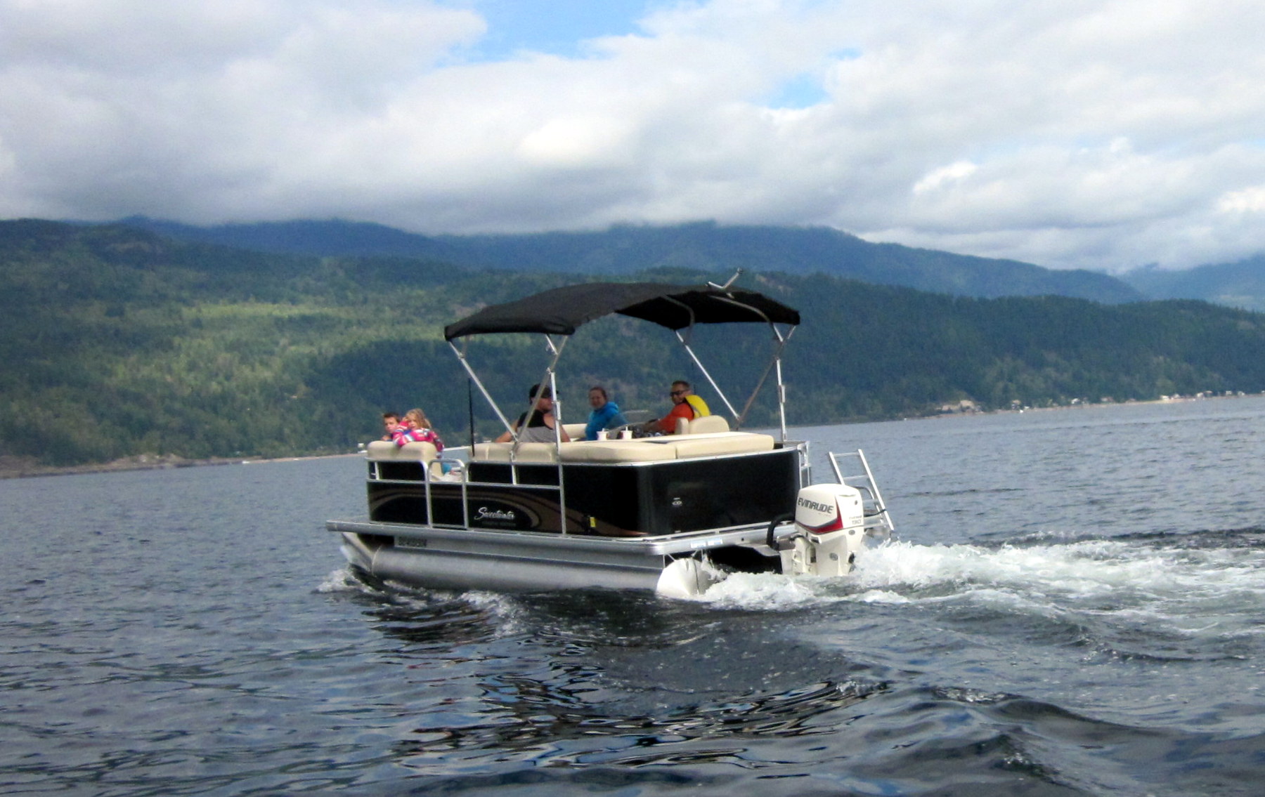
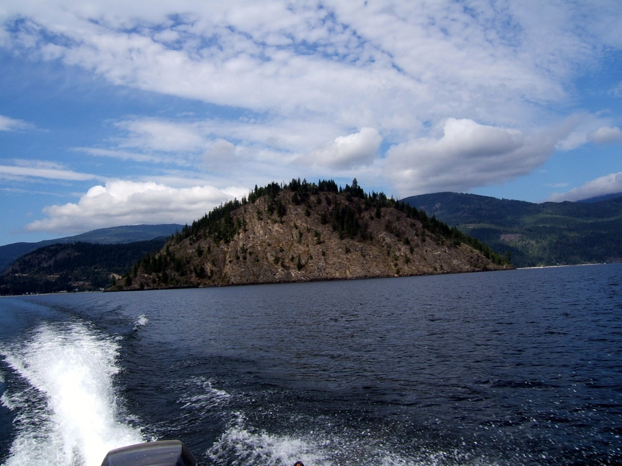
The photograph showing the wake behind the boat gives a full view of Copper Island in the background upon our return journey to the Blind Bay boat ramp.